Bermuda Information Signs
Provide useful information about routes and services
25 signs in this category
Information signs give you helpful guidance about routes, services and facilities across Bermuda, such as parking, hospitals, one-way streets and destinations. They do not impose rules; they help you navigate and plan ahead.
Study tip: These are usually rectangular. Learn to tell them apart from mandatory signs (circular, giving orders) so you never confuse guidance with a legal requirement.
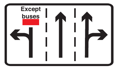
Appropriate traffic lanes at junction ahead
Shows the lane arrangement at the junction ahead. Here the left lane must turn left (buses excepted), the centre lane goes ahead and the right lane goes ahead or right. Move into the correct lane for your route in good time.
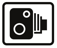
Area in which cameras are used to enforce traffic regulations
Indicates an area in which cameras are used to enforce traffic regulations such as speed limits and signals. Obey the limits and signals; offences may be recorded automatically.
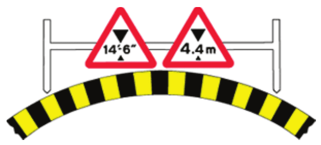
Available width of headroom indicated
Marks the available headroom under a bridge or other overhead structure: the black-and-yellow chevrons show the edges of the opening and the triangular signs give the maximum safe height (here 14 ft 6 in / 4.4 m). Do not proceed if your vehicle or load is higher than the figure shown.
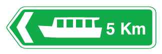
Direction and distance to a ferry dock
A green primary-route direction sign giving the direction and distance to a ferry dock (here 5 km, to the left). Follow the arrow.
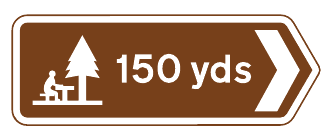
Direction and distance to a picnic area
A brown tourist sign giving the direction and distance to a picnic area (here 150 yards, to the right).
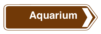
Direction and distance to a tourist attraction
A brown tourist sign giving the direction to a tourist attraction named in words (here the Aquarium, to the right).
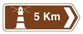
Direction and distance to a tourist attraction indicated by symbol
A brown tourist sign giving the direction and distance to a tourist attraction shown by a symbol (here a lighthouse, 5 km to the right).

Direction and distance to destination shown
A green primary-route direction sign giving the direction to the destination shown (here Beaches, ahead and to the left). Follow the arrow.

Direction of temporary diversion shown
A yellow direction sign showing the route of a temporary diversion. Follow the arrow (here to the left) to reach the destination shown (Hamilton) while the normal route is closed.
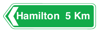
Direction to destination shown
A green primary-route direction sign giving the direction to the destination shown, in this case Hamilton, 5 km to the left.
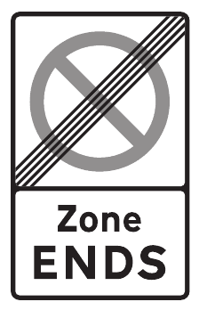
End of controlled parking zone
Marks the end of a controlled parking zone (the crossed-out no-waiting symbol with the words Zone ENDS). The zone's waiting restrictions no longer apply beyond this sign, but still obey any local yellow lines or plates.

Entrance to a private access road or property
A blue IN sign marking the entrance to a private access road or property. Use this side to enter, and expect vehicles turning in here.
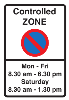
Entrance to controlled parking zone
Marks the entrance to a controlled parking zone. Within the zone, waiting is restricted during the times shown on the entry sign (here Mon-Fri 8.30 am to 6.30 pm and Saturday 8.30 am to 1.30 pm) unless signs or bays say otherwise.
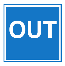
Exit from a private access road or property
A blue OUT sign marking the exit from a private access road or property. Vehicles leaving the property emerge here; do not enter by this side.
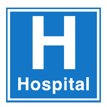
Hospital
A hospital with emergency facilities is ahead. Drive quietly, avoid unnecessary horn use and watch for ambulances.
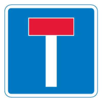
No through road
The road ahead is a dead end for vehicles; there is no exit at the far end.
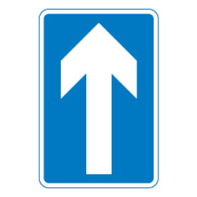
One-way traffic
All traffic on this road travels in the direction of the arrow. The keep-left rule does not apply in one-way streets.
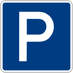
Parking
Parking is permitted here. Plates may limit parking to certain times, durations or permit holders.

Parking place available only on the day specified
Indicates a parking place, in the direction of the arrow, that is available only on the day specified on the sign (here Saturday only).
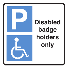
Parking restricted to disabled permit holders only
Parking here is restricted to vehicles displaying a disabled badge or permit. Other drivers must not park in these spaces.
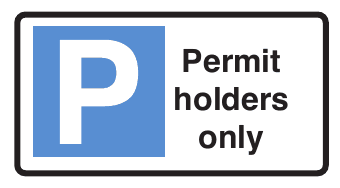
Parking restricted to permit holders
Parking here is restricted to holders of the relevant permit. Other drivers must not park in these spaces.
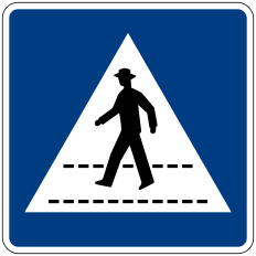
Pedestrian crossing
Marks a pedestrian crossing. You MUST NOT park on the crossing or within its zigzag lines, and never overtake the vehicle nearest the crossing.

Route of Bermuda Railway Trail
A brown sign marking the route to the Bermuda Railway Trail (here 'To Railway Trail', to the right). Expect walkers and cyclists near the trail.
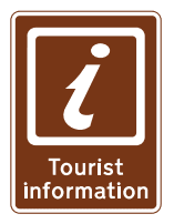
Tourist information point
A brown sign with the 'i' symbol marking a tourist information point.
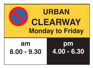
Urban clearway
Urban clearway: no stopping on this road during the times shown (here Monday to Friday, 8.00 to 9.30 am and 4.00 to 6.30 pm), except for as long as necessary to set down or pick up passengers.