
Road Sign Shapes & Colors: What They Mean Worldwide
Shape tells you the sign category before you read it. Triangles warn, red circles prohibit, blue circles command, rectangles inform. Understanding the Vienna Convention system helps in 70+ countries.
Key Takeaways:
- Shape tells you the category of a sign before you read the text
- Triangles = warning, Circles = orders (red border = prohibit, blue = mandatory), Rectangles = information
- The Vienna Convention standardizes road signs across 70+ countries
- The octagon is reserved exclusively for STOP worldwide — no other sign uses eight sides
- Understanding shapes helps you drive safely in any country, even if the text is in a foreign language
Every road sign on the planet is designed around the same principle: shape and color communicate meaning faster than words. Whether you are driving through a village in Cyprus, navigating a roundabout in Malta, or cruising a coastal highway in the Cayman Islands, you can understand what a sign is telling you without reading a single word. This guide breaks down the universal language of road sign shapes and colors so you can drive with confidence anywhere in the world.
Why Shape and Color Matter More Than Text
According to the Transportation Research Board, drivers recognize signs by shape up to 30% faster than by reading text, especially at night or in poor weather. Over 70 countries have adopted the Vienna Convention on Road Signs and Signals, a treaty designed to make signs universally recognizable. When you are travelling at speed, you have roughly two seconds to register a sign and react. Shape and color give your brain a head start.
Consider driving in Japan, the UAE, or Cyprus. You may not read the local script, but a red-bordered triangle still means danger ahead, and a red circle still means something is prohibited. Shape encodes the category: warning, order, or information. Color encodes urgency: red signals danger or prohibition, blue signals instruction, green signals direction, and yellow signals caution. Master the system once, and you can decode a sign in any country on earth. This is exactly why sign recognition questions appear on theory tests in the Cayman Islands, Malta, and Cyprus.
Warning Signs: The Triangle
The European Road Assessment Programme (EuroRAP) reports that roads with proper advance warning signage see up to 25% fewer collisions at hazard points. The warning sign design is consistent across the globe: an upward-pointing triangle with a red border and white or yellow interior. Warning signs do not give orders. They alert you to a hazard ahead — a sharp bend, steep hill, junction, animals crossing, or roadworks — so you can prepare.
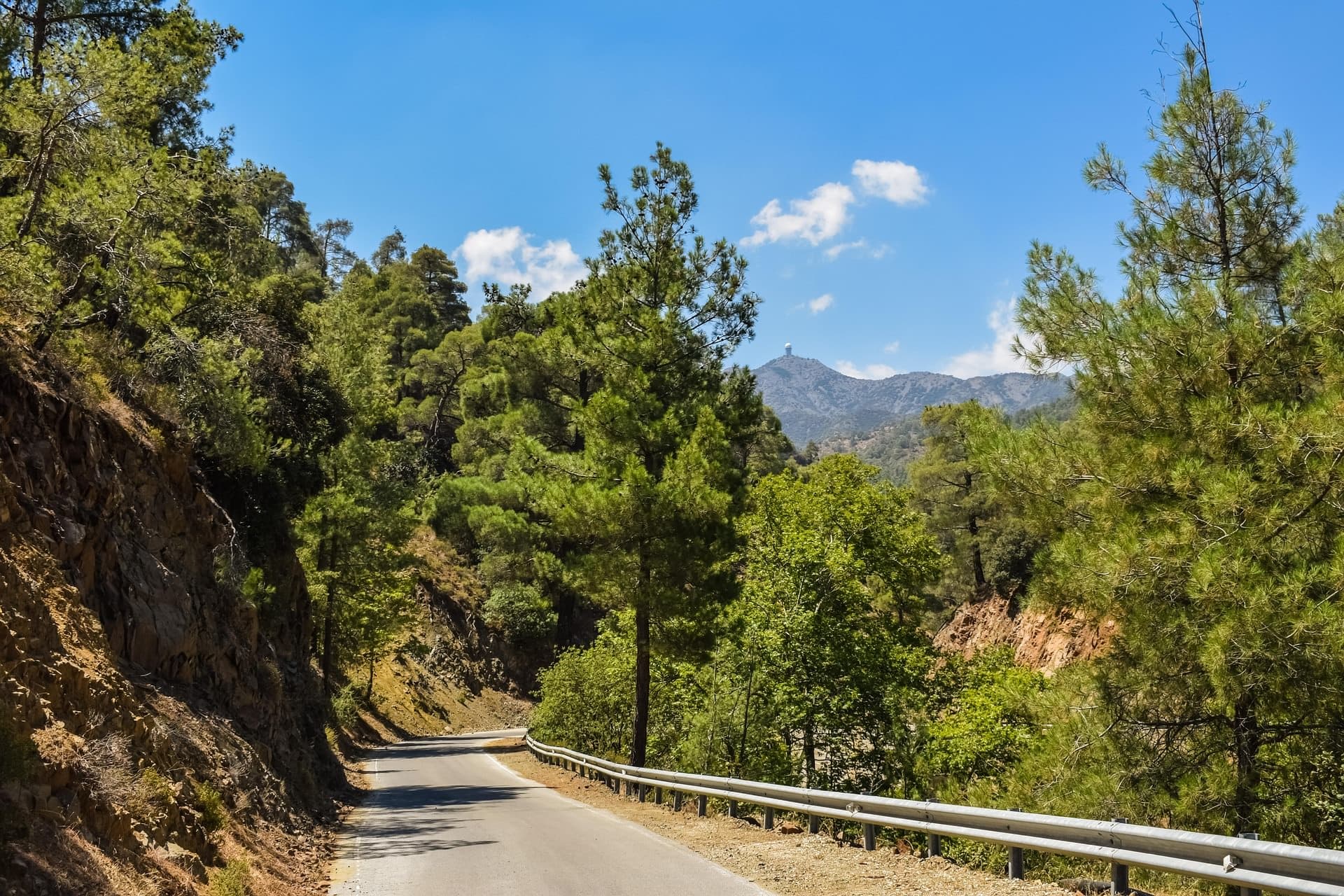
In the Cayman Islands, common warning triangles include left-hand curve signs on coastal roads, junction-ahead signs near roundabouts, and pedestrian crossing signs near schools. On Cayman's sign pages, these triangles use the UK-style format. In Malta, warning triangles alert you to speed humps, narrow roads in historic cores like Mdina and Valletta, and crosswind zones near Dingli Cliffs. Practise on our Malta road signs page. In Cyprus, Troodos mountain roads are lined with triangles for steep gradients, falling rocks, and hairpin bends. Review them on the Cyprus road signs page.
If you see a triangle, start scanning the road ahead for the hazard described inside it. The sign is your early alert system.
Prohibitory Signs: The Red Circle
According to the World Health Organization, speed is the primary factor in approximately 30% of fatal crashes worldwide, making prohibitory signs among the most critical on any road. Their design is unmistakable: a white circle with a red border. If you see one, something is forbidden.
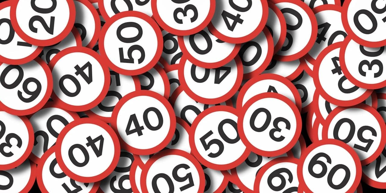
The most common prohibitory sign is the speed limit: a red circle with a number inside. In the Cayman Islands, speed limits are posted in mph (25, 30, 40, 50), while in Malta and Cyprus they appear in km/h. The shape stays identical — only the number changes. Beyond speed limits, No entry is a red circle with a white horizontal bar, common at one-way exits across Malta. No overtaking shows two cars side by side, frequent on Cyprus's Troodos passes. No parking uses a red circle with a blue interior and diagonal slash.
When a prohibition ends, you will see the same sign with black diagonal lines through it. Practise identifying red circle signs on the Cayman, Malta, and Cyprus sign pages.
Mandatory Signs: The Blue Circle
The UNECE Convention specifies that mandatory instructions use a blue circle with a white symbol. While prohibitory signs tell you what you must not do, mandatory signs tell you what you must do — ignoring them carries the same legal weight as breaking a prohibition.
The most common mandatory signs involve direction of travel. Blue circle arrows tell you which way to go at junctions. In Malta, where many roads in Valletta and Sliema are one-way, blue mandatory arrows appear constantly. The roundabout sign — a blue circle with three curved white arrows — tells you a roundabout is ahead. In the Cayman Islands, roundabouts circulate clockwise (left-hand traffic), while in Malta they go counter-clockwise (right-hand traffic).
Minimum speed signs — a blue circle with a white number — appear on motorways in Cyprus and indicate the lowest speed you may travel. Other mandatory signs include compulsory cycle lanes and snow chain zones in the Troodos mountains. If the blue circle has a red diagonal line through it, the instruction has ended.
Information Signs: The Rectangle
The Federal Highway Administration (FHWA) notes that information signs account for the largest category of road signs by volume — they appear more frequently than any other type. Their shape is always a rectangle or square, and their color varies by the type of information they carry.
Blue rectangles are used for general information: parking availability, hospital locations, fuel stations, tourist information points, and bus stops. In Malta, blue information signs guide you to ferry terminals, heritage sites, and the Mater Dei Hospital. In Cyprus, they direct you to archaeological sites, beaches, and mountain villages.
Green rectangles indicate direction and distance on major roads. Motorway signs in Cyprus use green backgrounds with white text, showing destinations, junction numbers, and distances in kilometres. Malta uses green signs for its primary route directions, even though the island has no motorways — the longest uninterrupted road stretch is only about 20 kilometres.
Brown rectangles are reserved for tourist and cultural attractions. You will see them pointing to historical sites, national parks, and scenic areas across all three countries. In Cayman, brown signs guide you to attractions like the Turtle Centre and Pedro St James.
White rectangles with a black border serve as supplementary plates, mounted below other signs to add detail — distance to the hazard, times of operation, or vehicle categories affected. These small signs are easy to overlook but carry important information.
Direction signs are worth studying before your theory test. Knowing what each color background means helps you navigate unfamiliar roads and eliminates hesitation at junctions.
Priority Signs: Unique Shapes
The Vienna Convention reserves three unique shapes exclusively for priority signs — shapes that no other sign category uses. This ensures they are instantly recognizable, even when dirty, partially obscured, or seen from behind.
The STOP sign is an octagon — eight sides, red background, white text. It is the only road sign in the world that uses this shape. Even if the text is in Arabic, Mandarin, or Greek, you can identify it by shape alone, from any angle, including from the back. The octagon shape was adopted in the United States in 1915 and has since been adopted globally. When you see it, you must come to a complete stop, not just slow down.
The Give Way (or Yield) sign is an inverted triangle — a triangle pointing downward with a red border. It tells you to slow down and yield to traffic on the road you are joining. Unlike STOP, you do not need to halt completely if the way is clear, but you must be prepared to stop if necessary.
The Priority Road sign is a yellow diamond with a white border. It tells you that you are on the road with right of way through upcoming junctions. An end-of-priority sign shows the same diamond with black diagonal stripes. These appear regularly on rural roads in Malta and Cyprus.
The Vienna Convention System
The Vienna Convention on Road Signs and Signals, adopted in 1968, has been ratified by over 70 countries. It standardizes shapes, colors, and symbols so drivers crossing borders can understand signs without translation.
Malta and Cyprus are both signatories and use Vienna Convention designs — a speed limit sign in Malta looks identical to one in Germany or Greece. For expats moving between European countries, you only need to learn the system once.
The Cayman Islands use the UK-style system, which predates the Convention but shares most principles. Triangles still mean warning, circles still mean orders, rectangles still mean information. The differences are cosmetic: different fonts, imperial units (mph), and some unique symbols. Countries like the United States and Australia use their own systems, but the STOP octagon is universal everywhere. Before your theory test, study signs on our Cayman, Malta, or Cyprus sign pages.
The international road sign system is governed by the United Nations Vienna Convention on Road Signs and Signals (1968), which standardises sign shapes, colours, and symbols across more than 70 signatory countries.
Frequently Asked Questions
Why is the stop sign an octagon?
The octagon was chosen in 1915 by the American Association of State Highway Officials because it is unique among common geometric shapes. More sides indicated greater danger: a circle for railroad crossings, an octagon for STOP. The key advantage is that an octagon is recognizable from any direction — including from behind. Every country in the world now uses the octagon exclusively for STOP.
Are road signs the same worldwide?
Not identical, but remarkably similar. The Vienna Convention standardizes signs across over 70 countries, and even non-signatory nations use the same shape-and-color logic. Triangles mean warning, circles mean orders, rectangles mean information — virtually everywhere. The main differences are language, units (mph vs km/h), and some country-specific symbols.
What does a yellow diamond sign mean?
A yellow diamond with a white border is a Priority Road sign under the Vienna Convention. It means you have right of way through upcoming intersections. When you see the same diamond with black diagonal stripes, the priority has ended. Note: in the United States, yellow diamonds are used for warning signs instead, so context and country matter.
Why are some signs green and some blue?
Blue rectangles provide general information — parking, hospitals, services. Green rectangles indicate motorway or primary route directions with destinations and distances. Brown rectangles point to tourist attractions and cultural sites. This blue-green-brown system is consistent across Vienna Convention nations including Malta and Cyprus.
Do all countries use the Vienna Convention?
No. Over 70 countries have ratified the Convention, covering most of Europe, parts of Asia, Africa, and South America. Notable non-signatories include the United States, Canada, Australia, and Japan, though each uses systems sharing many principles. The Cayman Islands follow the UK-style system, which is technically separate but closely aligned. Malta and Cyprus, both EU members, match the pan-European standard exactly.
Related Guides
Continue learning with these related articles
Speed Limits Compared: Cayman Islands vs Malta vs Cyprus
Cayman uses mph (25-50), Malta/Cyprus use km/h. Malta has no motorways (max 80 km/h). Cyprus goes up to 100 km/h. Side-by-side comparison of limits, penalties, and drink driving laws.
Driving in Cyprus as an Expat: Licences, Left-Hand Traffic & What You Need to Know
EU licence holders can exchange directly. Non-EU and post-Brexit UK citizens must take the full oral test. Covers the 6-month residency rule, left-hand driving adjustment, costs, and tips for British expats.

Driving in the Cayman Islands as an Expat: Everything You Need to Know
53.5% of Cayman residents are expats — and every one must take the full driving test. No licence exchange exists. Guide covers left-hand driving adjustment, CI$600 licence fees, and how to pass first time.
Cayman Islands Driving Licence Cost 2026: Complete Fee Breakdown
Non-Caymanian licence fees rose 700% in 2026. A 3-year licence now costs CI$600 (US$720). Complete breakdown of all fees from theory test to full licence, plus tips to minimize costs.
Ready to test your knowledge?
Put what you've learned into practice with our free driving theory practice tests.
Start Practicing